Filter Species
Sighting Density
LowMediumHigh
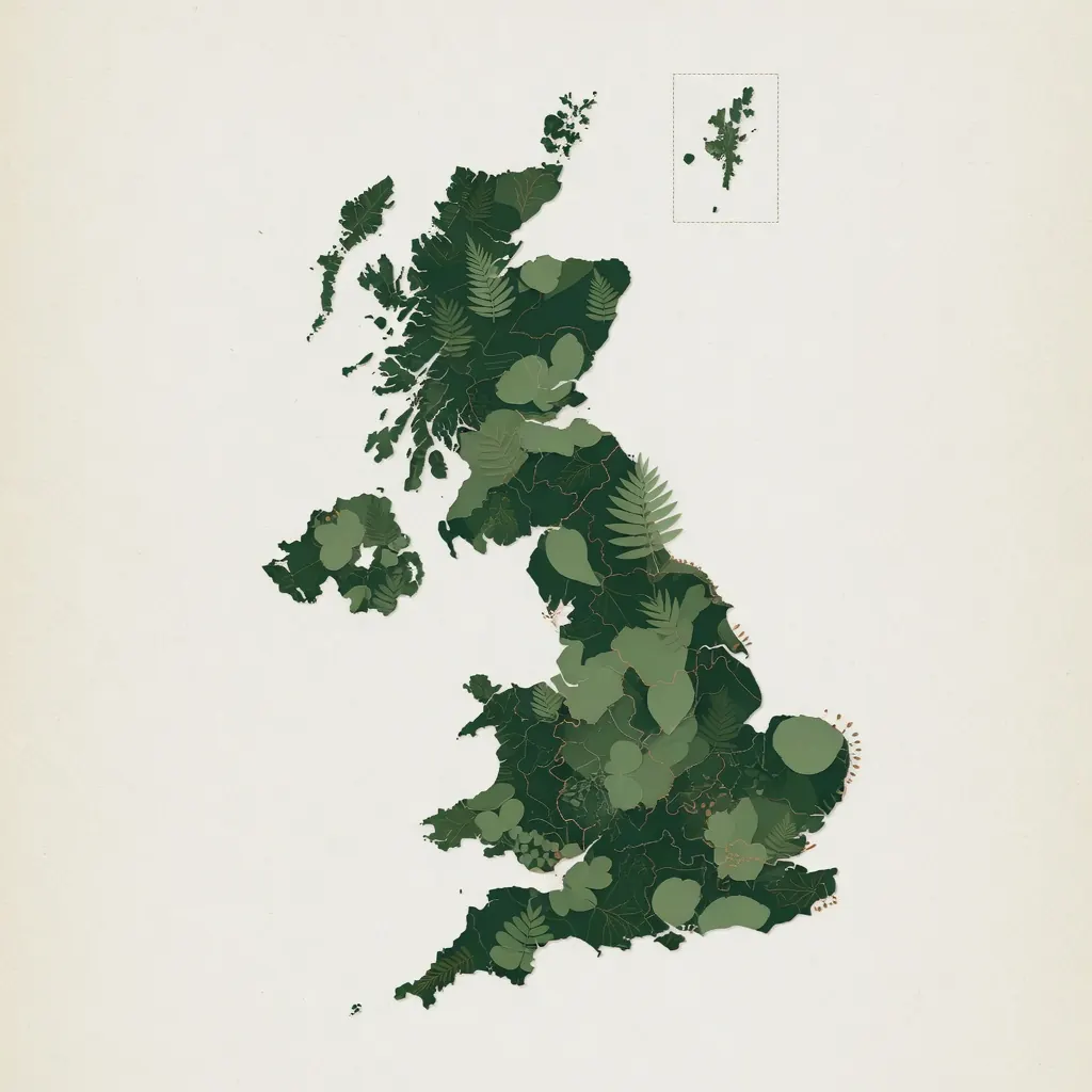
Interactive distribution map
An interactive map showing the indicative distribution of invasive plant species across the United Kingdom. Search by postcode to check your area.
Indicative heatmap based on a synthetic distribution model derived from public sources (Environment Agency records, local authority surveys, NBN Atlas datasets) for illustrative purposes. A live integration with the NBN Atlas API is planned for 2026 — until then, this map should not be used as a definitive presence/absence record.
Spotted invasive species near you? Get a free initial consultation from our specialist team.